Burlington faces cooler, wetter week
Meteorologist Peter Kvietkauskas predicts temperatures dropping into the 40s by the weekend.
By Sophie Lawson ·
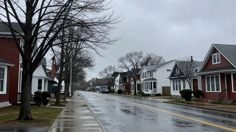
Weather forecaster Peter Kvietkauskas reported that rain showers are moving through Burlington from west to east on Thursday morning and into the early afternoon. Additional spotty showers may occur later this evening and into the early hours of tonight. The total rainfall is expected to be light, with most locations receiving only a couple of tenths of an inch. Current temperatures have already cooled, sitting in the low to mid 60s for most of the area.
Conditions will improve slightly on Friday, though isolated showers remain possible. Temperatures will continue to decline, with high readings expected in the upper 50s and lower 60s. Saturday will bring more clouds and potential showers, marking a noticeable drop in temperature. Afternoon highs on Saturday are projected to reach only the 40s to about 50 degrees.
Sunday appears drier than the preceding days, but residents should still expect a spotty morning shower or two. The temperature will remain generally stuck in the 40s for most of the area. As the week ends and the new one begins, clouds and passing showers will persist. There is a possibility of a few mountain snowflakes occurring from time to time on Monday and Tuesday.
Kvietkauskas noted that while clouds and showers will cover the end of this week, the weekend, and the start of next week, no single day is forecast to be a washout. Rain amounts are capped at about 0.75 inches. This pattern of gray, soggier, and cooler weather will define the local forecast through the coming days.
Source: WCAX-TV · original report published
More News · Burlington news · Report a business · Got a Story?